

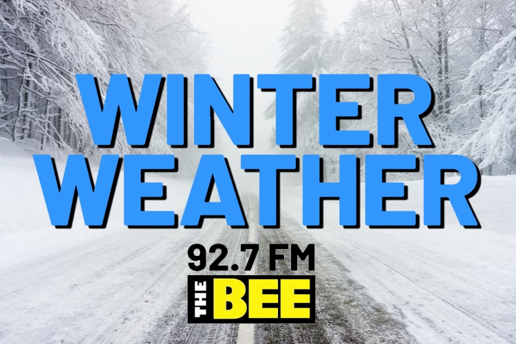
Note: Updated information appears at bottom of page.
Original Article on Friday:
Preparations are being made across Northwest Alabama as a winter storm system threatens the area with ice and hazardous travel conditions over the weekend. Schools in the area have announced closings, and Governor Kay Ivey has declared a state of emergency to release resources to help the area prepare.
Haleyville City, Russellville City, Winston County, Marion County, Lawrence County, and Franklin County Schools have all announced school closings on Monday. 92.7 The Bee is maintaining a complete list of closings at HaleyvilleBroadcasting.com/closings
The Alabama Law Enforcement Agency says it will close its driver license offices on Monday due to the possibility of hazardous travel conditions. This will include the offices in Sheffield, Cullman, Fayette, Russellville, Vernon, Moulton, Hamilton, and Jasper.
Update – Friday Evening at 6pm:
The Marion County Engineer’s Office has issued a countywide travel advisory for all county-owned roads and bridges effective from 6:00 pm Friday, January 23 to 1:00 pm Tuesday, January 27. Travel is advised only during emergency conditions and while using extreme caution. Drivers should pay special attention to bridges and overpasses. While all roads are open as of Friday evening, road conditions will be re-evaluated as temperatures drop and precipitation falls.
Update – Saturday afternoon at 12:30 pm:
Currently 29°F in Haleyville. NWS expecting temps to warm above freezing tonight, and we will receive rain this evening and overnight that won’t freeze.
Drying out Sunday morning, but what moisture is left on roads will refreeze with colder temps Sunday night, and we’ll have black ice on Monday.
Update – Saturday afternoon at 3:30 pm:
3:20 pm Saturday update from NWS Birmingham:
A few locations hold onto some risk for icing (far northwest and northeast counties in Central Alabama). Fluctuations between wintry precipitation and cold rain remain likely in those areas.
A Winter Weather Advisory remains in effect until 6 PM Sunday for Marion, Winston, Lamar, Fayette, Walker, Blount, Etowah, and Cherokee counties.
Rain will be heavy at times, primarily on Sunday, with 2-4 inches forecast… minor flooding may occur.
Frigid temperatures will move in behind the weather system and persist throughout next week.
A Cold Weather Advisory is in effect Monday morning for wind chills as low as 0°F.
Icy patches will occur early in the week where moisture lingers or drains across walkways and roadways. Black ice will be a concern.
Update – Sunday afternoon at 2:45 pm:
We are currently hovering right at freezing across Bee Country. The rain has stopped and pavement is starting to dry out.
Whatever water is still on the roads will freeze and form black ice that could last overnight and tomorrow as well.
This is the last remaining hazard we have from this storm system, and we’re incredibly lucky to not have the amounts of ice and the damage our friends and neighbors in Mississippi and Tennessee are experiencing. They have a hard time ahead of them.
Stay at home at least the next 24 hours and let’s get through this unharmed.
Update – Sunday afternoon at 3:30 pm:
Marion County Engineer Wesley Hallman has issued an Impassible Travel Advisory, effective 5pm today. All Marion County highways and bridges are considered impassible until further notice. All travel should be suspended until conditions improve. Only emergency vehicles should use the roads at this time.